
 EN
EN
 ar
ar bg
bg hr
hr cs
cs da
da nl
nl fi
fi fr
fr de
de el
el hi
hi it
it ko
ko no
no pl
pl pt
pt ro
ro ru
ru es
es sv
sv tl
tl iw
iw id
id lv
lv lt
lt sr
sr sk
sk sl
sl uk
uk vi
vi et
et hu
hu th
th tr
tr fa
fa ms
ms hy
hy ka
ka ur
ur bn
bn mn
mn ta
ta kk
kk uz
uz ku
ku
GPS Displacement Monitoring System
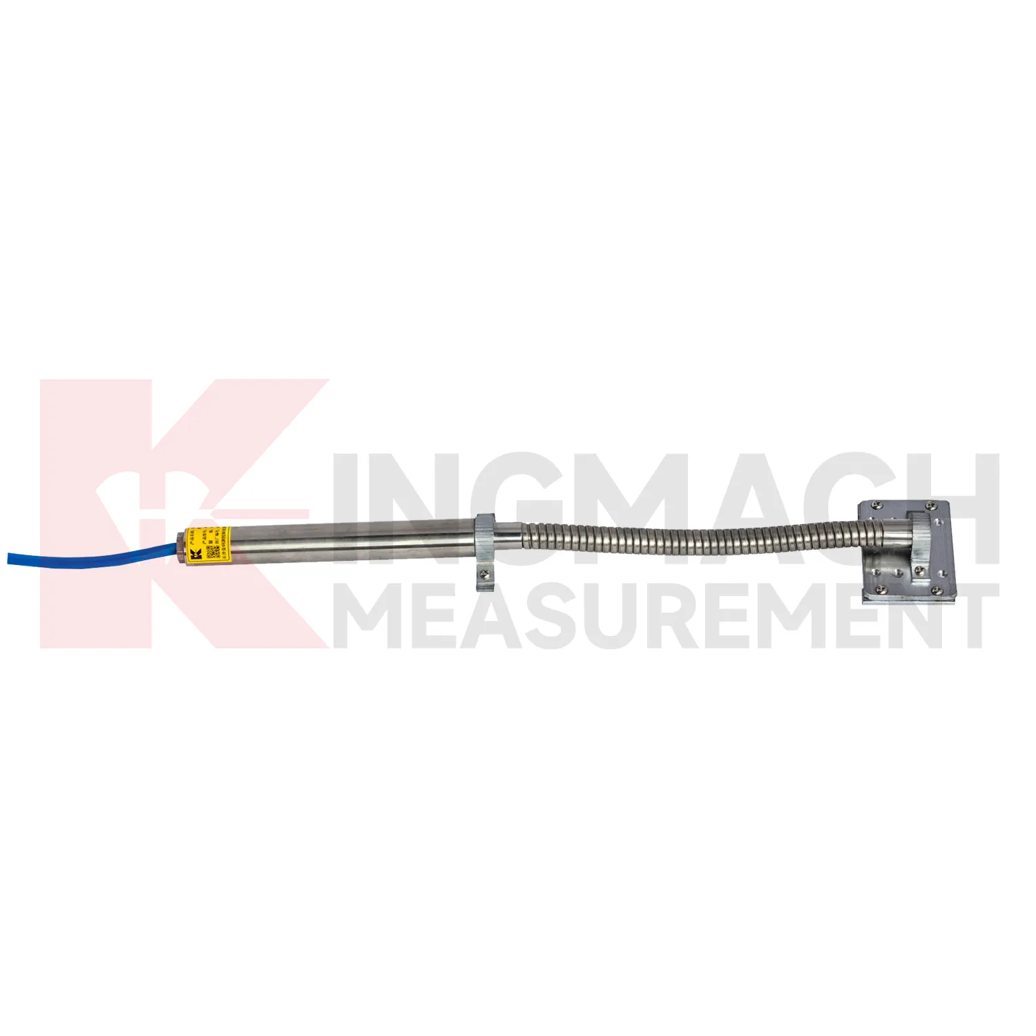
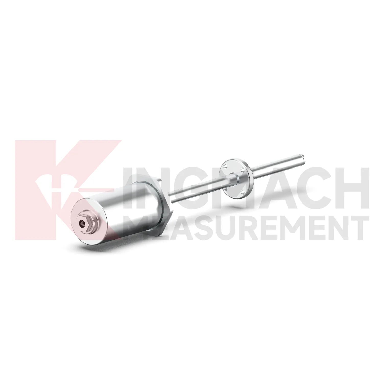
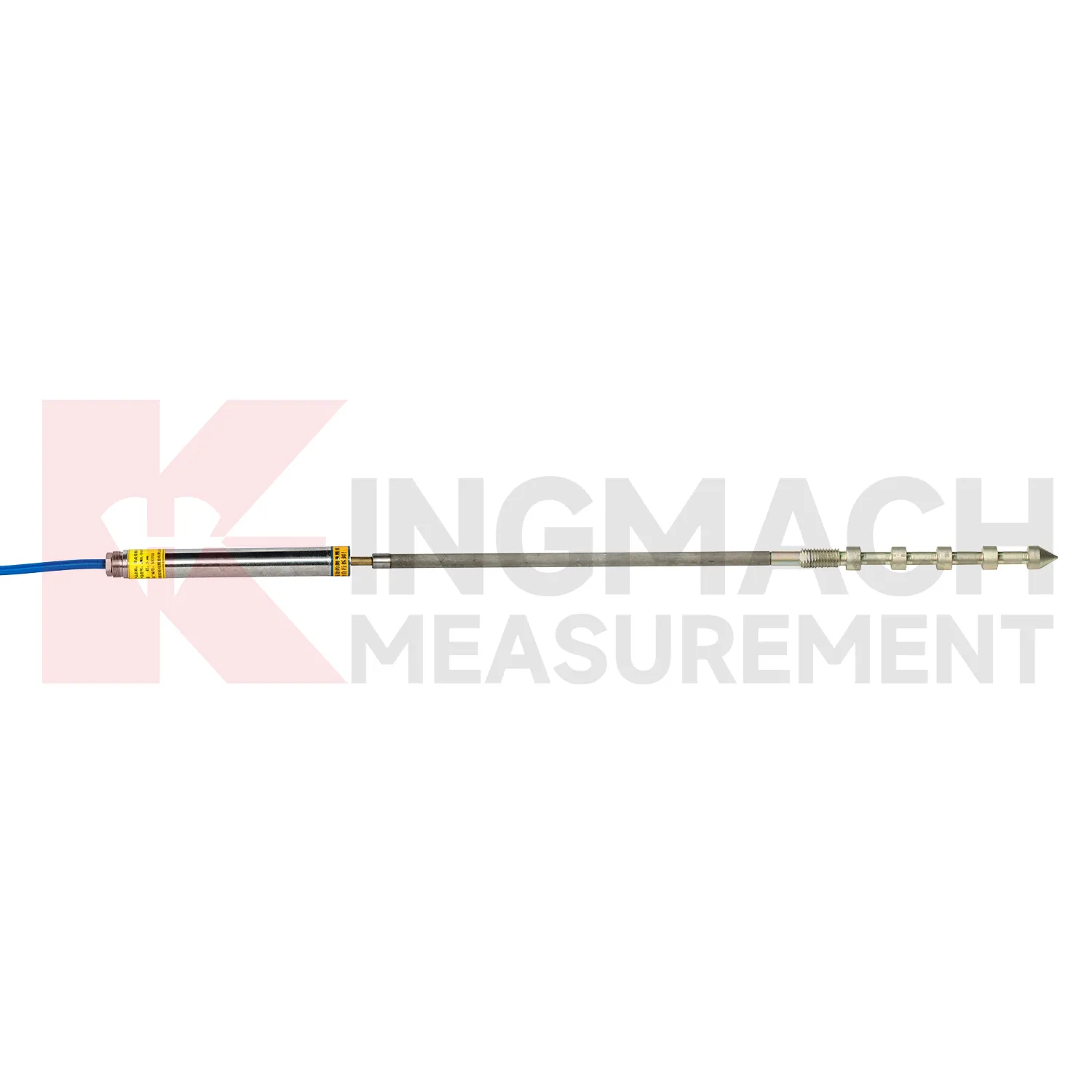
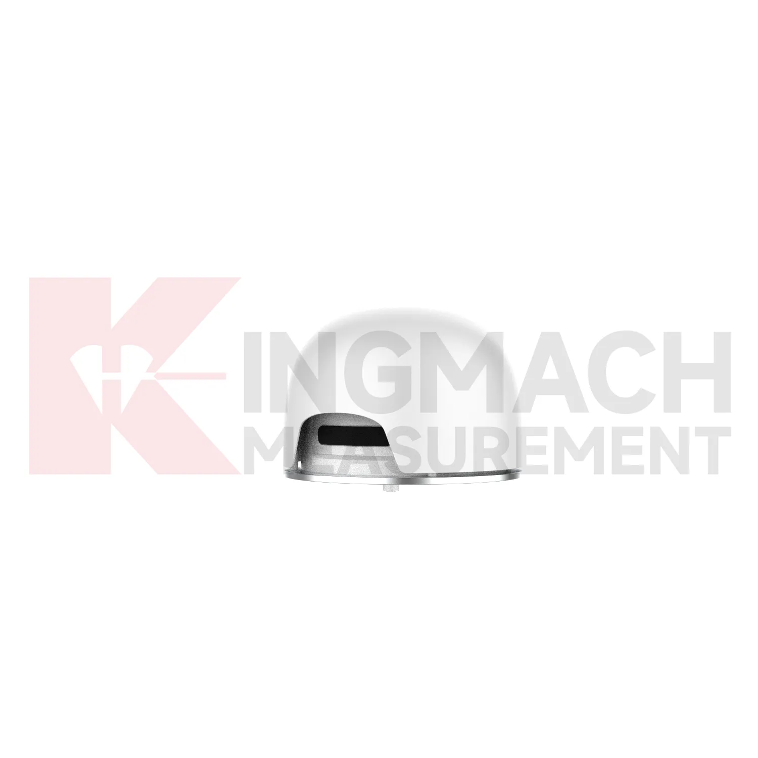
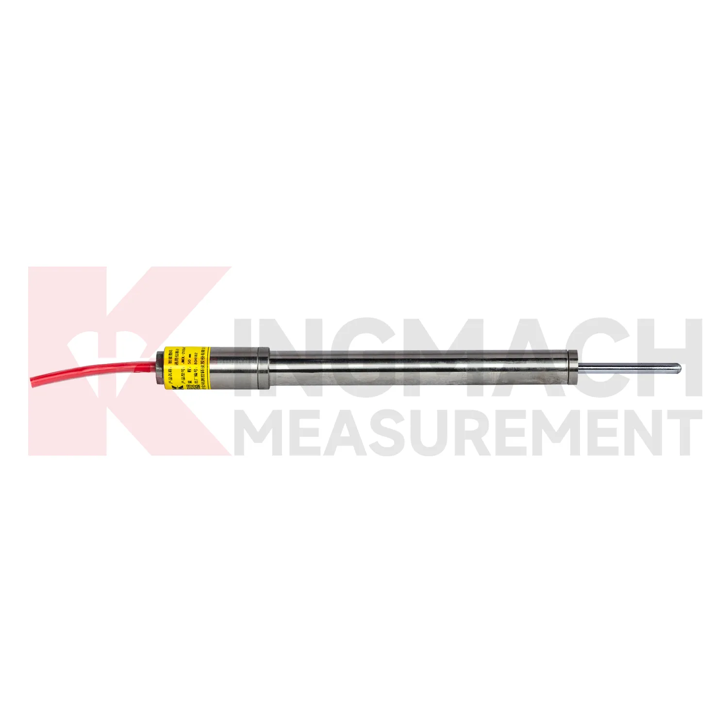
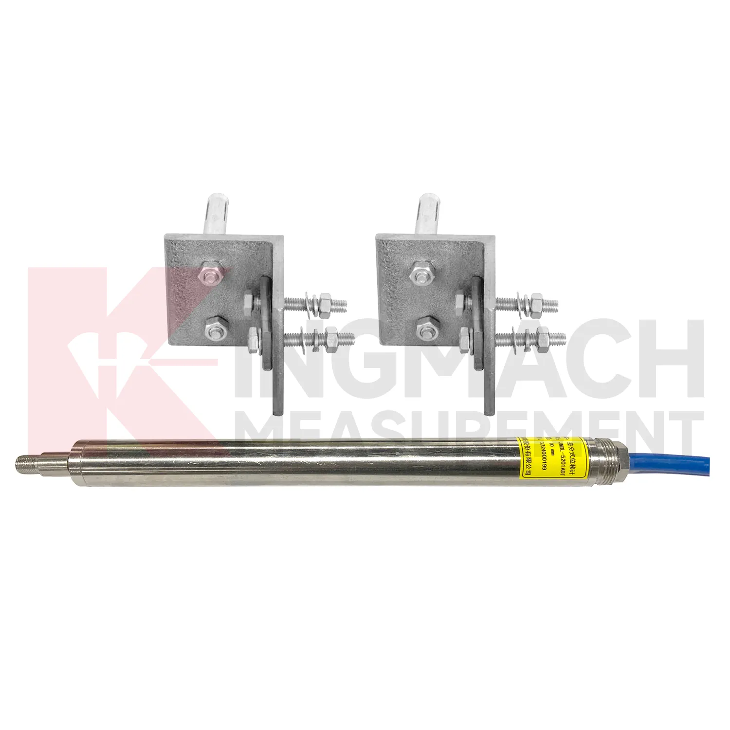
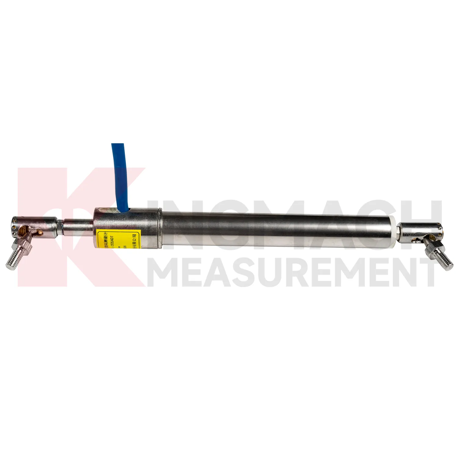
The JMDL-32XXAT Smart Single-Point Bedrock Displacement Meter extends Kingmach GPS Displacement Monitoring System into embedded rock and foundation monitoring. It is designed for tunnel rock mass deformation, dam bedrock deformation, slope sliding, and foundation pit face movement. The assembly includes a flange, electrical displacement sensor, tie rod, anchor head, and PVC pipe, forming a practical embedded instrument for single-depth displacement. Listed models include 50 mm, 100 mm, and 200 mm ranges, each with 0.01 mm resolution. Product information lists displacement accuracy of 0.5%FS, temperature accuracy of plus or minus 0.5 degrees Celsius, and an operating temperature range from -30 degrees Celsius to +80 degrees Celsius. This product is useful where the monitoring point needs to be anchored into a known layer rather than mounted only on a visible surface. In tunnels, dams, slopes, and deep excavations, that embedded layout helps link surface observations with movement inside the rock or foundation body. During project setup, the measuring point should be matched with the expected travel direction, available mounting space, cable route, and required acquisition interval. This prevents a short-range joint instrument from being used on a long-travel point, or an exposed sensor from being placed where an embedded anchor is needed. It also helps the monitoring team set a baseline that can be defended during acceptance and later maintenance review.
Application of GPS Displacement Monitoring System
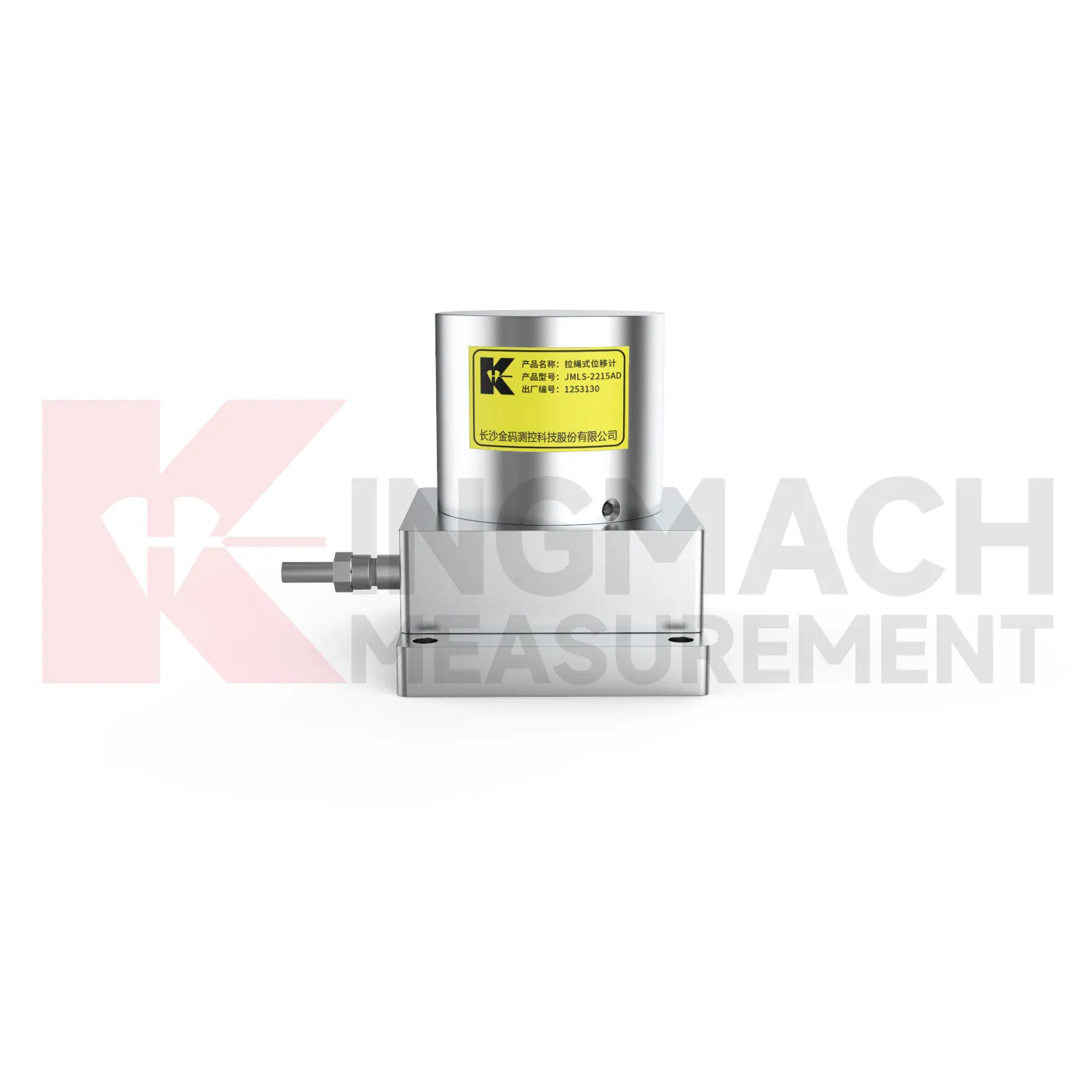
In integrated structural health monitoring, GPS Displacement Monitoring System act as the movement layer inside a wider measurement network. Their role is to show where a point has shifted, how fast the shift is developing, and whether the change agrees with other instruments. Kingmach displacement products can feed digital records into acquisition units and monitoring platforms, while related Kingmach product groups provide strain, load, settlement, tilt, vibration, pore pressure, water level, rainfall, data logging, cables, and software. A practical system may use JMDL-52XXADT meters for precise joint travel, JMDL-31XXAT meters for rock layers, JMDL-24XXAT meters for buried geogrid deformation, and JMLS-22XXADT sensors for longer cable travel. The data chain should define point names, units, zero values, sampling intervals, warning grades, and inspection actions before alarms are enabled. This prevents a displacement curve from becoming an isolated chart. Instead, the reading can be checked beside force, strain, settlement, temperature, rainfall, and construction records, giving engineers a clearer basis for maintenance and warning review. During commissioning, each curve should be verified against the physical point so later reports can be trusted by site teams, designers, and owners. The same record should also note cabinet number, logger channel, cable tag, power supply, and communication route, because many long-term data problems begin outside the sensor body.
The future of GPS Displacement Monitoring System
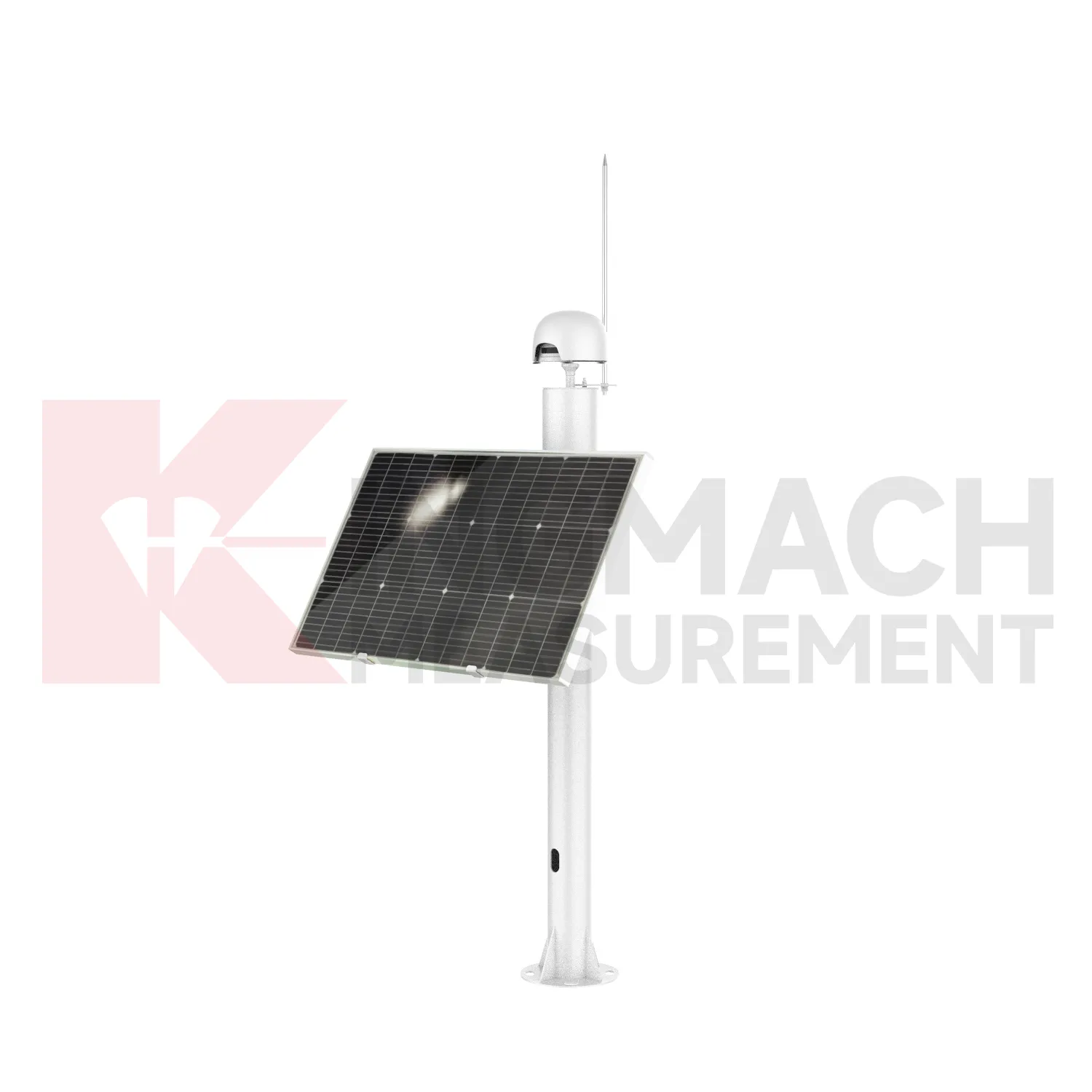
Wireless and low-power networks will change how GPS Displacement Monitoring System are deployed on difficult sites. Many displacement points are located on slopes, dam shoulders, tunnel portals, remote rail subgrades, or temporary construction zones where cabling is expensive and easy to damage. Kingmach displacement products already support automatic acquisition in several forms, and future field layouts can combine wired RS485 points, LoRa or 4G gateways, solar power, and compact edge devices. The engineering task will be to preserve reliable baselines while reducing field maintenance. Sensors with built-in memory and stored calibration data help because the point can retain key identity information even when a gateway is replaced. Remote power planning, connector sealing, lightning protection, and clear channel naming will become as important as the sensor range itself. For remote terrain, the biggest gain will be fewer unnecessary site visits: teams can review battery status, data gaps, and movement direction before sending technicians into a hazardous or hard-to-access location.
Care & Maintenance of GPS Displacement Monitoring System
Care for GPS Displacement Monitoring System starts with selecting the correct range before installation. A 20 mm or 50 mm joint sensor cannot replace a 1000 mm draw-wire sensor, and an embedded rock displacement meter cannot be treated like a surface crack gauge. Confirm model, range, resolution, accuracy, mounting accessories, cable length, power supply, output type, waterproof rating, and acquisition method before the instrument is shipped to site. For Kingmach products, check whether the selected model is JMDL-21XXAT, JMDL-22XXAT, JMDL-24XXAT, JMDL-31XXAT, JMDL-32XXAT, JMDL-49XXAT, JMDL-52XXADT, JMCW-21XXADT, or JMLS-22XXADT. During installation, record the zero reading only after brackets, anchors, measuring rods, cable pulls, or grouted points are stable. A rushed baseline can make every later reading harder to interpret, even when the sensor itself is working correctly. Keep the installation photo, point number, zero value, and expected movement direction with the commissioning record for later review. If a reading changes after maintenance work, inspect the base, anchor, cable, and cabinet before assuming the structure itself has moved.
Kingmach GPS Displacement Monitoring System
GPS Displacement Monitoring System support safer engineering decisions when the reading is tied to a clear location, a known baseline, and a repeatable acquisition method. Kingmach products list practical field details such as 0.01 mm resolution on several JMDL models, 0.5%FS accuracy on general-purpose, crack, flexible, and formwork models, plus 0.1%FS accuracy on the differential JMDL-52XXADT series. Protection ratings such as IP67 and IP68 help when instruments are exposed to dust, water, concrete work, or outdoor cabinets. RS485 output on digital models allows remote data transfer, while memory functions keep calibration and measurement data close to the sensor. In bridges, buildings, hydropower works, tunnels, railways, slopes, and foundation pits, those details reduce the gap between a specification sheet and actual monitoring work. The better the field record, the faster abnormal movement can be checked. The point should be named on the drawing, linked with its cable route, and checked against the expected movement direction before the first automatic reading is accepted. For daily review, the reading should be compared with nearby points, recent weather, site operations, and any loading event that could explain the movement.
FAQ
Q: Which GPS Displacement Monitoring System are used for rock layers or bedrock?
A: JMDL-31XXAT multipoint meters are used for different surrounding rock layers, while JMDL-32XXAT single-point bedrock meters are used for tunnel rock mass, dam bedrock, slope, or foundation pit movement.
Q: How many points can the multipoint meter support?
A: The multipoint installation kit supports three to five monitoring points, with anchor heads fixed at different depths by drilling and grouting.
Q: What ranges are listed for these models?
A: Both JMDL-31XXAT and JMDL-32XXAT list 50 mm, 100 mm, and 200 mm models with 0.01 mm resolution.
Q: Why monitor several depths?
A: Different layers may move differently. Separating shallow and deep movement helps engineers judge whether the problem is surface creep, deeper rock slip, or overall mass movement.
Q: What records should be kept?
A: Keep drilling depth, anchor location, grouting date, channel name, zero value, cable route, and first stable reading.
Reviews
James Thompson
The tiltmeters and accelerometers are very sensitive and provide precise data. Perfect for our structural health monitoring system.
Andrew Lee
The visualization software is intuitive and powerful. It helps us analyze monitoring data efficiently.
Latest Inquiries
To protect the privacy of our buyers, only public service email domains like Gmail, Yahoo, and MSN will be displayed. Additionally, only a limited portion of the inquiry content will be shown.
Evelyn***@gmail.comSouth Africa
Hi, we are a contractor working on tunnel construction and need settlement sensors and displacement ...
Olivia***@gmail.comUnited States
Hello, we are currently sourcing high-precision strain gauges and load cells for a bridge monitoring...