
 EN
EN
 ar
ar bg
bg hr
hr cs
cs da
da nl
nl fi
fi fr
fr de
de el
el hi
hi it
it ko
ko no
no pl
pl pt
pt ro
ro ru
ru es
es sv
sv tl
tl iw
iw id
id lv
lv lt
lt sr
sr sk
sk sl
sl uk
uk vi
vi et
et hu
hu th
th tr
tr fa
fa ms
ms hy
hy ka
ka ur
ur bn
bn mn
mn ta
ta kk
kk uz
uz ku
ku
biaxial tiltmeter
The JMZX-7100L sliding inclinometer is a field profiling instrument within the Kingmach biaxial tiltmeter group. It is used for measuring horizontal displacement changes inside soil masses in dams, building foundations, embankment slopes, underground construction projects, geotechnical slopes, and port engineering. The instrument combines a sliding inclinometer probe with a 3D-MEMS silicon capacitor biaxial inclinometer sensor and an integrated testing instrument. It supports mobile phone APP reading, Bluetooth transmission, large storage capacity for millions of readings, data download for numerical and graphical analysis, real-time wireless network sending, Chinese and English menus, and dedicated post-processing software. Published specifications include +/-90 degrees sensor range, 500 mm guide wheel spacing reference, a probe size of 26 mm by 776 mm, 8.5 kg total weight, 2 kg probe weight, -20 degrees Celsius to +60 degrees Celsius operation, 180 m water pressure impermeability, and 100 g vibration resistance.
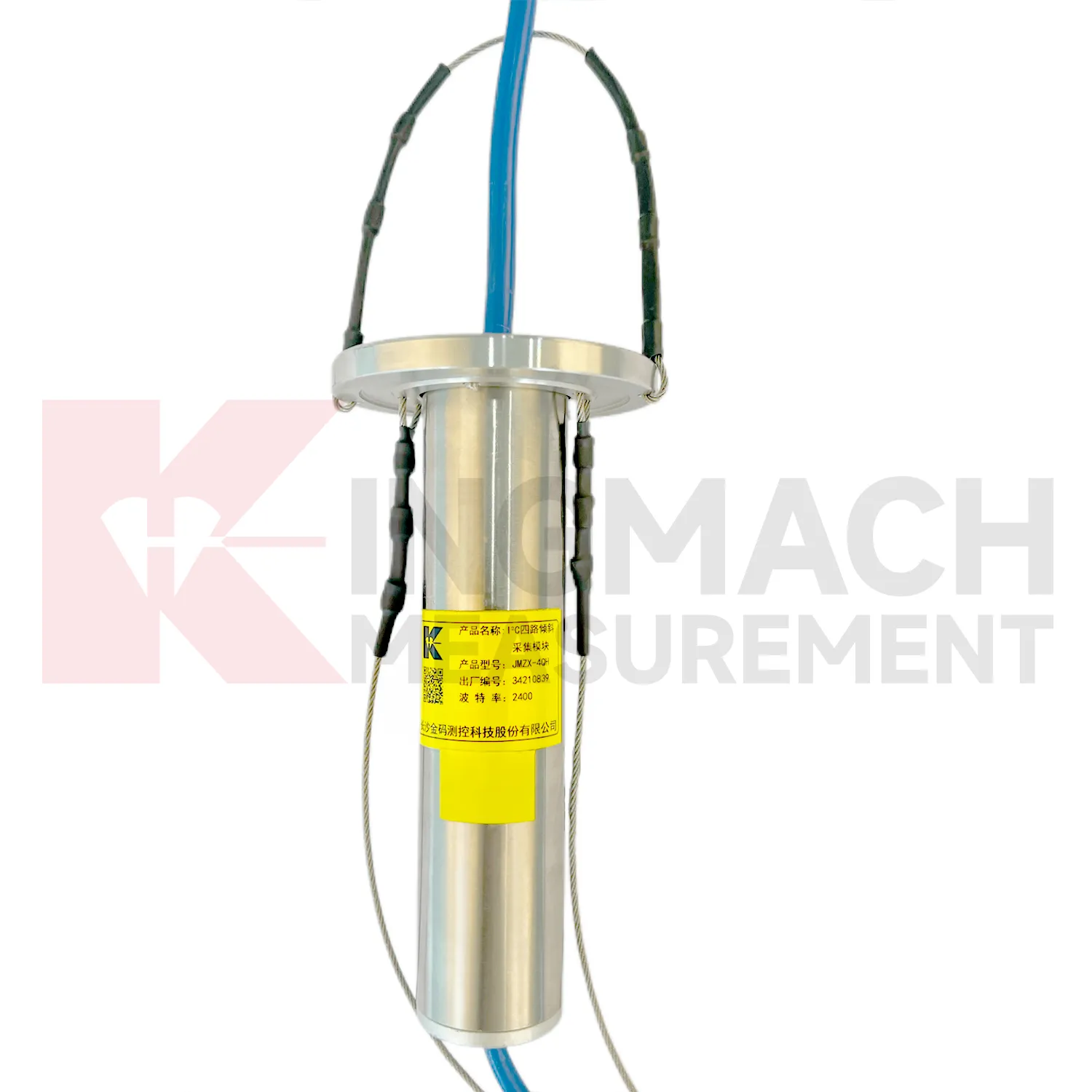
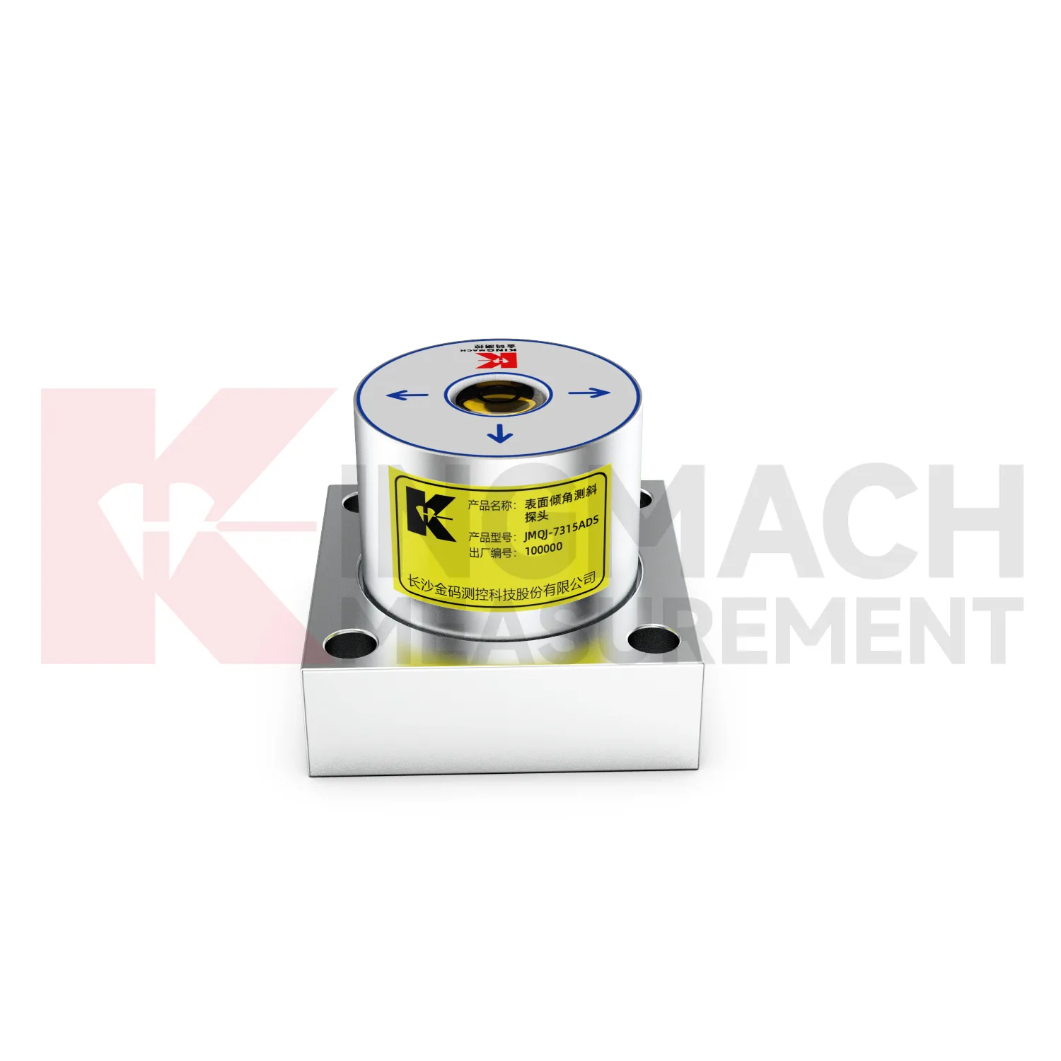
Application of biaxial tiltmeter
Building monitoring uses biaxial tiltmeter when column lines, basement walls, adjacent structures, or old buildings near construction activity need tilt records. JMQJ-7315ADS can measure angular change relative to the horizontal plane, and JMQJ-7315RTU can provide wireless reporting for remote or occupied sites. The data should be checked against foundation settlement, crack observations, groundwater changes, nearby excavation, demolition, pile driving, and load changes. Building tilt is often small, so installation quality matters. The mounting surface must be firm, the sensor axis must be recorded, and the baseline should be taken after the sensor has stabilized. For old or damaged buildings, clear point labels and photographs are important because many parties may review the same data during a long project.
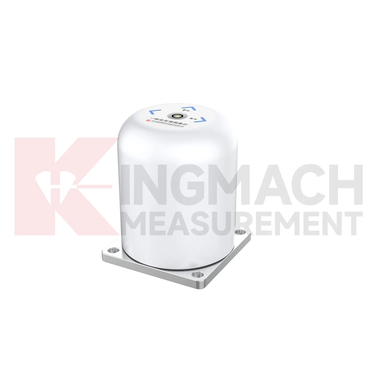
The future of biaxial tiltmeter
Multi-point borehole monitoring will continue to expand the role of biaxial tiltmeter. JMQJ-7915ATS already connects multiple in-place inclinometer sensors through a single cable, with grouped communication, universal joints, connecting rods, electronic identifiers, and an orifice acquisition module. This type of system turns a borehole into a depth-based deformation profile rather than a single surface observation. Future improvements will likely focus on easier factory configuration, clearer point identification, lower power operation, and faster data review. Slopes, foundation pits, dams, embankments, and underground projects benefit from knowing where movement is happening inside the ground. Depth-specific tilt data can help teams move from general warnings to targeted inspection and reinforcement planning.
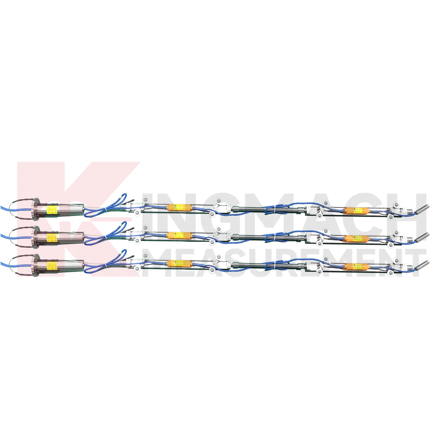
Care & Maintenance of biaxial tiltmeter
Battery and power checks keep biaxial tiltmeter reliable in remote monitoring. JMQJ-7315RTU uses a 3.6V 38AH battery, while other instruments use DC 9V to 24V power or acquisition modules with standby and operating power modes. Maintenance staff should record battery status, power supply voltage, sleep interval, measurement interval, and any power outage. For low-power systems, confirm that sensors wake correctly during scheduled measurement. For wired cabinets, inspect terminals, fuses, grounding, moisture, and cable strain. A low-voltage condition can create missing data or unstable communication before a total failure appears. Power records are especially important for slopes, bridges, railways, and dams where access may be limited after installation.
Kingmach biaxial tiltmeter
On busy construction sites, Kingmach biaxial tiltmeter must survive dust, moisture, vibration, cable handling, and limited access. Product pages describe sealed waterproof and dustproof designs, MEMS sensing, differential measurement principles, and low-power operation for selected systems. JMQJ-7315ADS lists IP68 protection, DC 9V to 24V supply, RS485 output, and an operating environment from -30 degrees Celsius to +80 degrees Celsius. JMQJ-7315RTU adds 4G wireless output and a 3.6V 38AH battery for remote work. These details matter because tilt monitoring often runs after excavation, filling, traffic opening, or structural operation begins. Installation teams should protect mounting surfaces, cable entries, enclosure seals, and axis markings. A durable field setup keeps the tilt curve meaningful instead of turning every storm or cabinet fault into a data question.
FAQ
Q: What is the difference between a fixed tiltmeter and a sliding inclinometer?
A: A fixed tiltmeter monitors one installed point continuously, while a sliding inclinometer is moved through casing to build a deformation profile by depth.Q: What is the difference between JMQJ-7315ADS and JMQJ-7315RTU?
A: JMQJ-7315ADS is a wired RS485 fixed tiltmeter, while JMQJ-7315RTU integrates wireless 4G communication and battery-powered remote monitoring.Q: When should a vertical in-place inclinometer be used?
A: Use it when deep internal deformation needs multi-point automatic monitoring inside a borehole rather than occasional manual profiling.Q: What does the JMZX-4QH module do?
A: It collects measurement data from multi-point vertical in-place inclinometer strings and uploads the data through wired or wireless means.Q: How should tilt alarms be reviewed?
A: Review angle change with rate, direction, nearby instruments, weather, construction activity, and visual inspection before deciding the response.
Reviews
Michael Anderson
The strain gauges and load cells are extremely accurate and stable. They performed very well in our bridge monitoring project. Highly recommended!
Robert Taylor
The weir flow meter is well-built and delivers accurate measurements. Great value for water management applications.
Latest Inquiries
To protect the privacy of our buyers, only public service email domains like Gmail, Yahoo, and MSN will be displayed. Additionally, only a limited portion of the inquiry content will be shown.
Ava***@gmail.comAustralia
Hi, I am looking for reliable tiltmeters and accelerometers for structural health monitoring. Please...
Emma***@gmail.comCanada
Dear Sir/Madam, we are interested in displacement transducers and settlement sensors for a geotechni...